Needwood - a long walk
I have spent a good part of my life since the age of twelve walking, cycling and driving around the Needwood Forest in Staffordshire. Created in 1266 and, although no longer heavily afforested, the Needwood is a large rural area of 9,437 acres. Today "490 acres of woodland remain, with some parts still open to the public"1. Most of the forest lands are under the ownership of the Duchy of Lancaster.
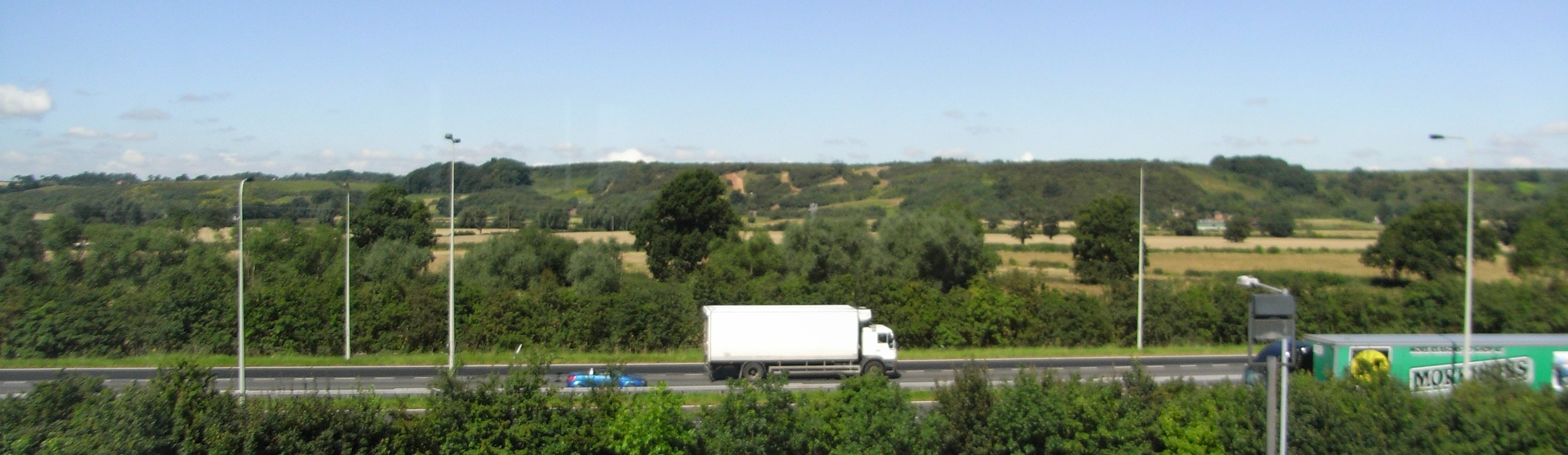
The forest is easily accessible (see below) and a popular leisure destination. The "Survey today comprises a mix of arable, dairy, sheep and beef farms with some residential and commercial property. There are currently over 60 let houses on the estate, whilst the commercial activity encompasses a diverse mix of uses including a saw mill, equestrian centres, offices and a private airfield."2
The walk described on this page is, I think, the longest walk in the forest that can be done in a single day taking in much of the great landscape, historical and cultural history of the area.This on-line edition includes non-core items of interest but printing it out will give the route in full. I have chose a staring point in a the north west corner of Burton-on-Trent, being easily accessed by foot, cycle, rail, and motor vehicle.
A walk along this route could be made with ease on a early midsummers day with good refreshment 'pit stops' along the way. Enjoy!
- By car. Turn left out of the station and follow A511 signs for 1.5 miles. The church is on the right, half way up Horninglow Road North. You can turn left and park in Dover Road.
- By bus. Two bus routes to the church pass the railway station: the number 1 bus (Uttoxeter or Tutbury) sets down a few yards short of the church, and the number 2 bus turns into Harper Avenue and sets down there; walk back round the corner and up the road to the church.
- By cycle. (Ignore the National cycle network routes.) Turn left out of the station and join the one-way system. Turn right at the town hall and then next left into Byrkley Street. At the end of the street turn right and then left into Grange Street. Cross the busy Shobnall Street and go down the footpath/cycleway to the canal and directly across Shobnall fields. Dismount, and walk over the the A38 footbridge and through the small park to Belvoir Road. Remount, and follow the road to the Queens Hospital entrance. Go straight on along Calais Road and take the third right into Dover road. Go to the end of the road (having dismounted to go up the one-way bit the 'wrong' way). The church is on the other side of the very busy Horninglow Road North. (Email me if you need a safe place to leave your cycles during the Long walk.)
- On foot. Use the same directions as for cyclists. If you have a good street map, you can vary the walk by strolling north along the Trent and Mersey canal to Horninglow Basin and then up Horninglow Road North to the church.
Begin the walk at the entrance to the church. Cross Horninglow Road North and walk up past the parade of shops passed The Plough Inn to the top of the rise at the junction with Calais Road. The route lies straight ahead.
Cross Calais Road by the pedestrian crossing and walk up Field Lane by the left-hand path. After 2/3 of a mile the lane has levelled off and turns right. At this point go along the track to Outwoods Barn and Bungalow Farm {SK226248}. {Crossing Outwoods Lane SK220249} {Parish Boundary SK217252} {}
{The Bell Inn}
{cafe}
{The Cock Inn}
{Spread Eagle}
2. Duchy of Lancaster↰
3. From here you could walk to to Hoar cross Hall Health Spa, book a room for the night, and return to the walk afresh the following morning!↰
4. [Text of footnote]↰